


Key Points
- London experienced record-breaking heat, with temperatures reaching 35.1C at Kew Gardens on Monday, according to the Met Office.
- This heatwave is part of a wider UK-wide pattern of unusually high temperatures for late May.
- The Met Office forecasts that temperatures in the capital could fall to as low as 11C by the end of next week as cooler, wetter air moves in.
- London will still see bright spells over the weekend, with highs around 30C on Saturday and 24C on Sunday, before rain begins on Monday.
- The Met Office predicts some level of rain in London every day until at least next Friday, marking a sharp shift from the current hot and dry conditions.
- The rapid change from extreme heat to heavy rain raises concerns about impacts on transport, outdoor events, and public health, particularly for vulnerable groups.
- Meteorologists warn that such quick swings between extremes are consistent with increasingly volatile weather patterns linked to climate change.
- Local authorities and emergency services are being urged to prepare for potential flooding, travel disruption, and heat-related illnesses lingering from the recent heatwave.
- Residents are advised to stay updated on weather warnings, secure outdoor items, and plan for possible delays in public transport and road journeys.
- The Met Office has issued guidance on how to stay safe during both the tail-end of the heat and the incoming rain, including hydration and checking flood risks.
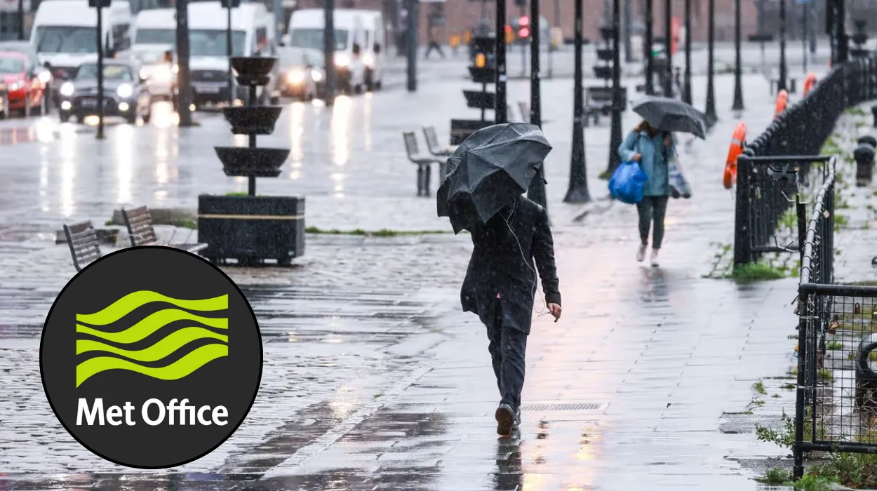
London (Britain Today News) May 30, 2026 – London is bracing for heavy rain and a sharp temperature drop after days of record-breaking heat across the UK, with the Met Office warning that the capital could see daily rainfall until at least next Friday. Temperatures peaked at 35.1C in Kew Gardens on Monday, but could fall to as low as 11C by the end of next week as the weather turns cool and wet, according to the Met Office. The weekend will still bring bright spells and highs of around 30C on Saturday and 24C on Sunday, but from Monday onwards rain is expected to become a daily feature, marking a dramatic shift from the current heatwave.
- Key Points
- How hot did London get during this heatwave?
- When will the rain start and how long will it last?
- How cold could temperatures become next week?
- What are the expected impacts on transport and daily life?
- Why is the weather changing so quickly?
- What advice is being given to the public?
- How does this heatwave compare with previous years?
- What should people expect in the days ahead?
How hot did London get during this heatwave?
According to the Met Office, temperatures in London soared to 35.1C in Kew Gardens on Monday, setting a new benchmark for late May in the capital. This figure sits well above the typical maximum for the period, which usually hovers in the low 20s, and signals a significant intensification of the heatwave that has affected much of the UK over the past week.
This record-breaking heat has been felt across the city, with many areas experiencing prolonged periods of high temperatures, strong sunshine, and low humidity. The Met Office has described the current conditions as “unusually hot for the time of year”, with the heatwave influences stretching from the south-east to other parts of the country.
When will the rain start and how long will it last?
The Met Office forecasts that London will still see bright spells this weekend, with a high of around 30C on Saturday and 24C on Sunday before the rain begins on Monday. From Monday onwards, some level of rain is expected in the capital every day until at least next Friday, according to the Met Office.
This prolonged wet spell is likely to continue into the following week, with meteorologists suggesting that a more stable, cooler pattern may begin to settle in by mid- to late-June. The shift from hot, dry conditions to persistent rain is expected to be quite abrupt, giving the public little time to adjust to the new weather regime.
How cold could temperatures become next week?
While the weekend will remain warm, temperatures in London could fall to as low as 11C by the end of next week as the weather cools, according to the Met Office. This represents a drop of more than 20C from the peak temperatures recorded at Kew Gardens on Monday.
Meteorologists note that such a rapid decline is not uncommon after intense heatwaves, as cooler air masses move in from the north-west and Atlantic systems bring rain and lower temperatures. However, the speed and magnitude of the change may catch some residents off guard, particularly those who have become accustomed to the recent heat.
What are the expected impacts on transport and daily life?
The combination of recent extreme heat and imminent heavy rain raises concerns about impacts on transport, outdoor events, and public health, particularly for vulnerable groups. Rail and road networks could face disruption as tracks expand in the heat and then deal with waterlogged surfaces and reduced visibility during the rain.
Local authorities and emergency services are being urged to prepare for potential flooding, travel disruption, and heat-related illnesses lingering from the recent heatwave. Public transport operators are expected to publish updated timetables and travel advice as the weather changes, and drivers are being warned to allow extra time for journeys and exercise caution in heavy rain.
Why is the weather changing so quickly?
Meteorologists warn that such quick swings between extremes are consistent with increasingly volatile weather patterns linked to climate change. The current heatwave followed by a rapid shift to cool, wet conditions is a textbook example of the kind of variability that experts expect to become more common in the coming decades.
As reported by the Met Office, these patterns are driven by a combination of high-pressure systems trapped over the UK, allowing heat to build, followed by the arrival of low-pressure systems from the Atlantic that bring rain and cooler air. The rapid transition from one extreme to another places additional stress on infrastructure, ecosystems, and public health services.
Explore More about London:
London Council to Debate Implementing a New Administrative Fine for Pet Owners Who Leave Animals Stranded in Extreme Vehicle Temperatures 2026
NATO Tests ‘Deep Strike’ Missile Operations From London Tube Station to Prepare for Russian Attack 2026
What advice is being given to the public?
The Met Office has issued guidance on how to stay safe during both the tail-end of the heat and the incoming rain, including hydration and checking flood risks. Residents are advised to stay updated on weather warnings, secure outdoor items, and plan for possible delays in public transport and road journeys.
During the last few hot days, people are encouraged to drink plenty of water, avoid strenuous activity during the peak heat, and check on elderly neighbours or those with underlying health conditions. As the rain approaches, the emphasis shifts to preparing for wet weather, including wearing appropriate clothing, avoiding flood-prone areas, and keeping emergency kits ready.
How does this heatwave compare with previous years?
The temperatures recorded this week are notably higher than the long-term average for late May in London, which typically sees maximums in the low 20s. The Met Office has described the current conditions as “unusually hot for the time of year”, placing this heatwave among the most significant for this period in recent history.
Experts note that while isolated hot spells have occurred in the past, the combination of sustained high temperatures, widespread coverage, and record readings at sites such as Kew Gardens is increasingly rare without the influence of broader climate trends. This context is important for understanding why the current weather event is being treated as a significant and newsworthy development.
What should people expect in the days ahead?
Londoners should expect a clear transition from hot and bright conditions to cooler, wetter weather over the coming days, with the weekend serving as the last window of warm, dry spells. From Monday onwards, daily rain is likely, and temperatures will gradually fall, potentially reaching lows of 11C by the end of next week.
Residents are encouraged to monitor Met Office updates, follow local authority advice, and adjust plans accordingly, particularly if they rely on outdoor activities, travel, or have health vulnerabilities. The coming week will be a critical test of how well the city and its services adapt to such a rapid and pronounced shift in weather conditions.